Battelle Darby Creek Metro Park
This post contains links to affiliate websites, such as Amazon, and we receive an affiliate commission for any purchases made by you using these links.
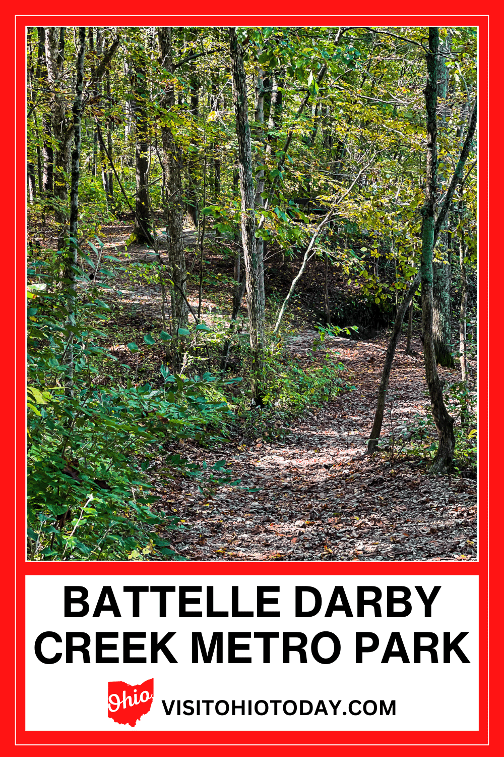
Battelle Darby Creek Metro Park is a huge park that covers over 7,000 acres of prairies, forests, and wetlands. Stretching along both Big and Little Darby Creeks, there are many activities available at Battelle Darby Creek Metro Park.
About Battelle Darby Creek Metro Park
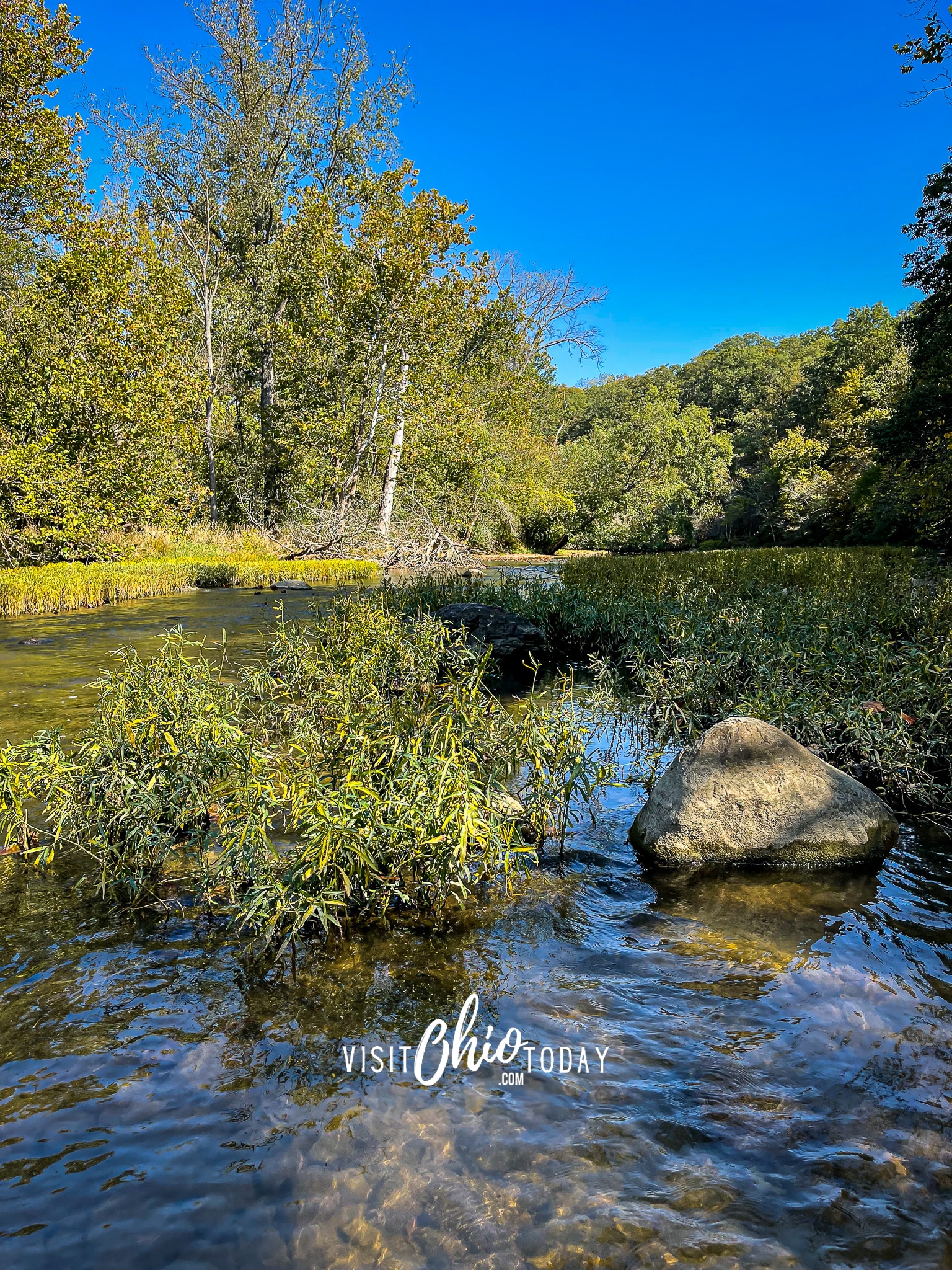
Battelle Darby Creek Metro Park stretches along the Big and Little Darby Creeks for over 13 miles. These rivers are both State and National Scenic Rivers. Over 1,600 acres of wetlands and prairies have been restored over time.
Due to the sheer size of Battelle Darby Creek, many different activities are available here.
Free-roaming bison are a feature of Battelle Darby Creek Metro Park. The official Facebook page has regular updates on where the bison can be seen in the park.
The nature center houses a 53-foot living stream stocked with creatures found in Big Darby Creek. It also has natural and cultural exhibits, some of which are interactive.
Cindy’s Insider Ohio Tips!
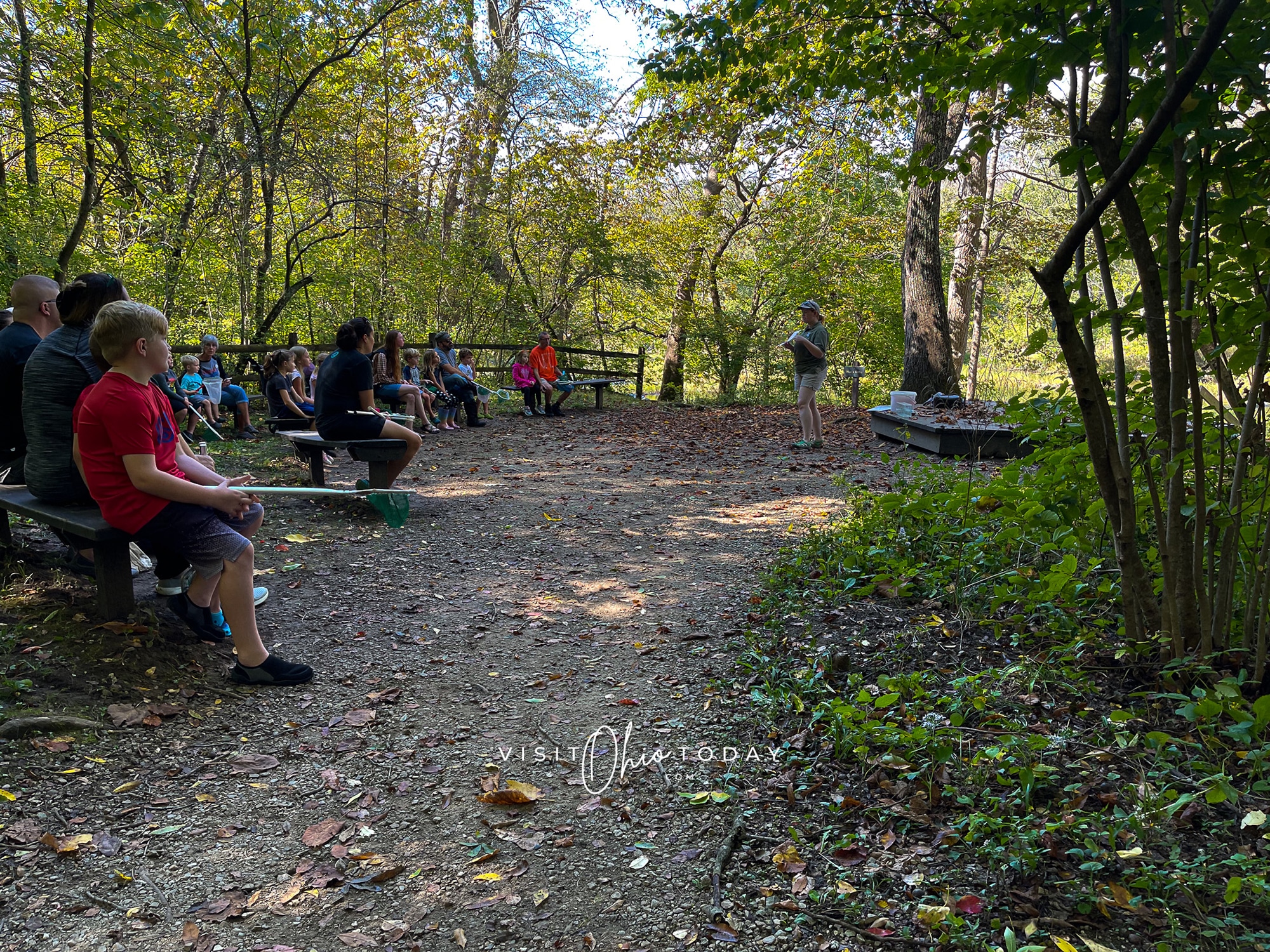
Creeking at Battelle Darby Creek is my preferred activity. Rangers frequently conduct classes along the water, providing valuable insights into the ecosystem. It’s a beautiful place with ample opportunities for learning.

Trails at Battelle Darby Creek Metro Park
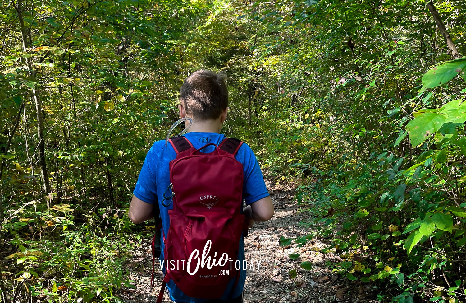
Battelle Darby Creek has 14 trails. Some of the trails are quite easy to navigate as they are fairly short and flat. Some of the other trails are a bit more challenging and vary in distance.
Ancient Trail
- 2-miles | Easy to Moderate | Hike | Grass and Gravel
This is a loop trail passing through fields and woods. It runs alongside Big Darby Creek, passing a reconstructed Fort Ancient mound. This trail will take around 1 hour to complete.
Camp Chase Trail
- 12.5-miles | Easy to Moderate | Hike | Bike | Pets | Paved | ADA
The Camp Chase trail is only partly in Battelle Darby Creek Metro Park. It is part of the cross-state Ohio to Erie Trail and an integral part of the Central Ohio Greenways network.
The trail begins in Madison County and passes through London, passing by a lot of farmland. On to Georgesville, where the trail passes through the town and leads to Darby Creek Bridge and into the Metro Park.
If you continue the trail, it will head to Galloway, finishing at Hilltop in Columbus. This article from traillink.com has an in-depth description of this trail.
You should probably give this trail at least half a day to complete. It depends very much on your stops along the way!
Darby Creek Greenway Trail
- 5-miles | Easy | Hike | Bike | Pets | Gravel | ADA
This is a flat, one-way trail that passes through prairies and woods. It also goes between the two Bison pastures. Dogs are welcome on this trail. This trail will take around two and a half hours to complete.
Dyer Mill Trail
- 3-miles | Moderate | Hike | Cross-Country Skiing | Grass/Gravel
This loop trail passes through tall grass meadows and secluded woodland. The trail dips down to Little Darby Creek. Cross-country skiing is available on this trail. You can expect to spend 1 hour and 45 minutes hiking this trail.
Edgewood, Lake & Prairie Way Trails
- 2.5-miles | Easy | Hike | Pets | Grass
These trails are listed as one trail but are technically three connecting loop trails: Edgewood Trail is a 1-mile loop trail, Lake Trail is a 1.1-mile loop, and Prairie Way Trail is 0.4-mile. These trails pass through fields and woodlands, around a lake, and along Big Darby Creek. Dogs are welcome here. These trails will take around 1 hour and 15 minutes to complete.
Wagtail Trail
- 1.9-miles | Easy to Moderate | Hike | Pets | Grass
The Wagtail trail has various loops and some out-and-back sections. Dogs are welcome on this trail. You can expect to spend around 1 hour and 20 minutes completing this trail.
Hawthorn Trail
- 0.8-miles | Easy | Hike | Gravel
Hawthorn Trail is a loop trail in the Cedar Ridge Picnic Area. This easy trail will take around 30 minutes to complete.
Harrier Loop, Rail Way & Teal Trails
- 2.7-miles | Moderate | Hike | Grass
This is another set of three interconnected easy-hike trails: Harrier Loop Trail is a 0.8-mile loop trail; Rail Way Trail is a 0.5-mile loop trail, and Teal Trail is a 1.5-mile loop trail. These trails pass through wetlands and prairies. All three trails should take around one and a half hours to complete.
Indian Ridge Trail
- 0.6-miles | Moderate to Difficult | Hike | Gravel
This short one-way trail runs along the Big Darby Creek, through fields and woods, and connects to the Terrace and Cobshell trails. You can expect this trail to take around 20 minutes to complete.
Osprey Lake Trail
- 0.5-miles | Easy | Hike | Grass, gravel
Osprey Lake trail is a loop trail that runs around Osprey Lake – the end of the loop does not connect to the beginning, but to the parking lot. This trail will take around 15 minutes to complete.
Riffle Run Trail
- 0.2-miles | Difficult | Hike | Gravel
Although short, the Riffle Run Trail is a difficult, steep, out-and-back trail leading down to Big Darby Creek. This trail should take less than 10 minutes to complete.
Cobshell Trail
- 1.2-miles | Moderate to Difficult | Hike | Gravel
This one-way trail passes through woods, and there is a scenic deck overlooking Big Darby Creek. Most portions of this trail loop back to the parking lot, so you can choose how long this trail is. If you undertake the full trail, it should take around 40 minutes to complete.
Terrace Trail
- 2.1-miles | Moderate to Difficult | Hike | Gravel
The Terrace trail is a loop trail that goes along Big Darby Creek and then passes through a forest. This hike should take around 1 hour to complete.
Turkey Foot Trail
- 0.5-miles | Easy | Hike | Grass
Turkey Foot Trail is a loop trail that passes through prairies and grasslands. This trail will take around 15 minutes to complete.
A downloadable/printable map of Battelle Darby Creek Metro Park is available.
Activities and Facilities
There are quite a few fun activities that take place within the park. This large park has a lot to offer its visitors.
Activities
- Hiking/Walking
- Biking
- Fishing
- Hunting
- Canoeing/Kayaking
- Nature Center
- Backpacking
- Picnicking
- Natural Play Area
- Cross-Country Skiing
- Ice Skating
- Sledding
Reservable and Non-Reservable Shelters
Shagbark Shelter – Reservable
- This shelter holds up to 80 people and is equipped with electricity, a grill, a sink, and a serving counter. There are also restrooms and parking for 50 cars. This shelter can be reserved on a full-day or half-day basis.
White Oak Shelter – Reservable
- This shelter holds up to 80 people and is equipped with electricity, a grill, a sink, and a serving counter. White Oak also has a sand volleyball court (you must provide your ball), a drinking fountain, and a swing set. There is parking for 50 cars. This shelter can be reserved on a full-day or half-day basis.
Cedar Ridge Lodge – Reservable
- This lodge can hold up to 72 people, and it has restrooms, Wi-Fi, a gas fireplace, a microwave, grills, a stove, and a 30-cup coffee maker. There is parking for 30 cars, and this shelter is available for all-day bookings
Indian Ridge Picnic Area – Non-Reservable
- Drinking fountain, restrooms, picnic tables, playfields, and grills.
- 3 Shelters: Enclosed on three sides, each shelter seats 16, with Grills
- 1 Open Shelter: Seating 16, 1 Grill
- 1 Open Shelter: Seating 80, 4 Grills
Cedar Ridge Picnic Area – Non-Reservable
- Playground, playing fields, restrooms, drinking water, and Picnic tables.
- 1 Small Open Shelter: Seats 24, 2 Grills, 2 Outlets
- 3 Shelters: Enclosed on three sides, Seats 15-20, Grills.
- 1 Small Open Shelter: Seats 16, 1 Grill
- 2 Large Open Shelters: Seats 64, 4 Grills, Electricity
Little Darby Day Use Area – Non-Reservable
- 1 Shelter: Seating 48, 2 Grills. Restrooms, various grills, and tables. Ice skating is located in this area.
Where is Battelle Darby Creek Metro Park Located?
There are several entrances to Battelle Darby Creek Metro Park. They are listed here:
Main Entrance – Cedar Ridge Area:
- Address: 1775 Darby Creek Drive, Galloway, Ohio 43119
- Phone: 614-370-6254 | Website | Facebook
Non-Reservable Shelters Locations:
- Indian Ridge: 2705 Darby Creek Drive, Grove City, Ohio 43123
- Cedar Ridge: 1775 Darby Creek Drive, Galloway, Ohio 43119
- Little Darby Day Use Area: 3711 Gardner Road, Galloway, Ohio 43119
Nature Center Location:
- Address: 1415 Darby Creek Drive, Galloway, Ohio 43119
Other Locations:
- Osprey Lake: 5800 Harrisburg-Georgesville Road, Darbydale, Ohio 43123
- Pleasant Valley Area: 9020 US Route 62, Orient, Ohio 43146
Location Map for Battelle Darby Creek MP
All of the entrances listed above are on this location map.
Let’s Visit Battelle Darby Creek Metro Park!
Have you visited Battelle Darby Creek Metro Park? We would love to hear about your time at the park. Leave a comment below and share your experience!
Ohio has some lovely wildlife, such as Bats In Ohio, Salamanders In Ohio, and Beetles In Ohio.
Maybe you are planning to visit Northeast Ohio; if so, check out Wineries In Northeast Ohio.
If you want to visit some other fantastic nature places in Ohio, we suggest Slate Run Metro Park, Three Creeks Metro Park, and Sharon Woods Metro Park.
Hello! We have done our very best to ensure that the accuracy of events, hours, addresses, etc, are up to date. Please know that information can change due to weather, updated health and safety challenges, etc. If you find incorrect information, please send us an email at [email protected], and we can get it updated.
To be updated and stay connected, subscribe to our newsletter.


